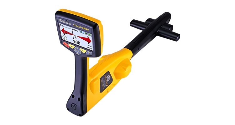
The vLoc3-9800‘s patented Distance Sensitive Left/Right Guidance and audible tone guide you to the path of your buried utility. Current measurement and the compass line direction indicator confirms that you are on target. The versatile vLoc3-9800 receiver provides the correct frequencies needed for the telecom, power, CATV, gas, water, and sewer utilities.
The user-configurable vLoc3-9800 series contains two passive locate modes, fault-find mode, and a range of configurable frequencies from 98Hz to 200kHz. Visual and mechanical vibration alerts can be configured by the user providing warnings for shallow depth, overload, overhead cables, and excessive swinging. Plug-in-play options for the receiver include an optional Bluetooth module usable with external GPS devices and the plug-in vLoc3-MLA (marker locator adapter) to locate buried markers.
Use the free VM-MAP smartphone application to create real-time maps with GPS data and data from the locator such as time, date, depth of cover, current on the line, and add custom comments to each entry. Data captured by external GPS devices via Bluetooth can be downloaded for further analysis, use with GIS systems or google maps.

